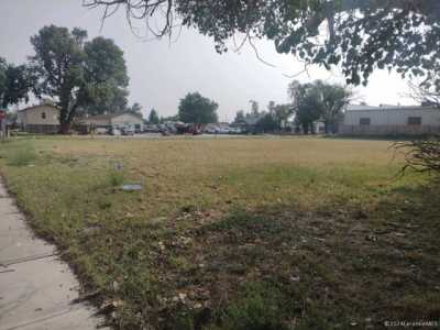

Residential Land For Sale
€145,250
Laramie, Wyoming, United States
1,471,840 sqm
Listed By: Listanza Services Group
Listed On: 06/09/2026
Listing ID: GL5319241 View More Details
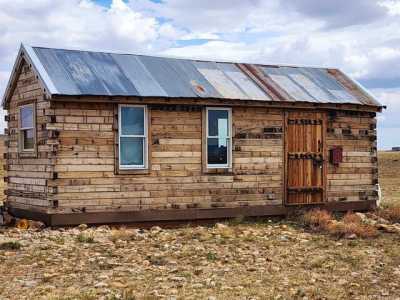
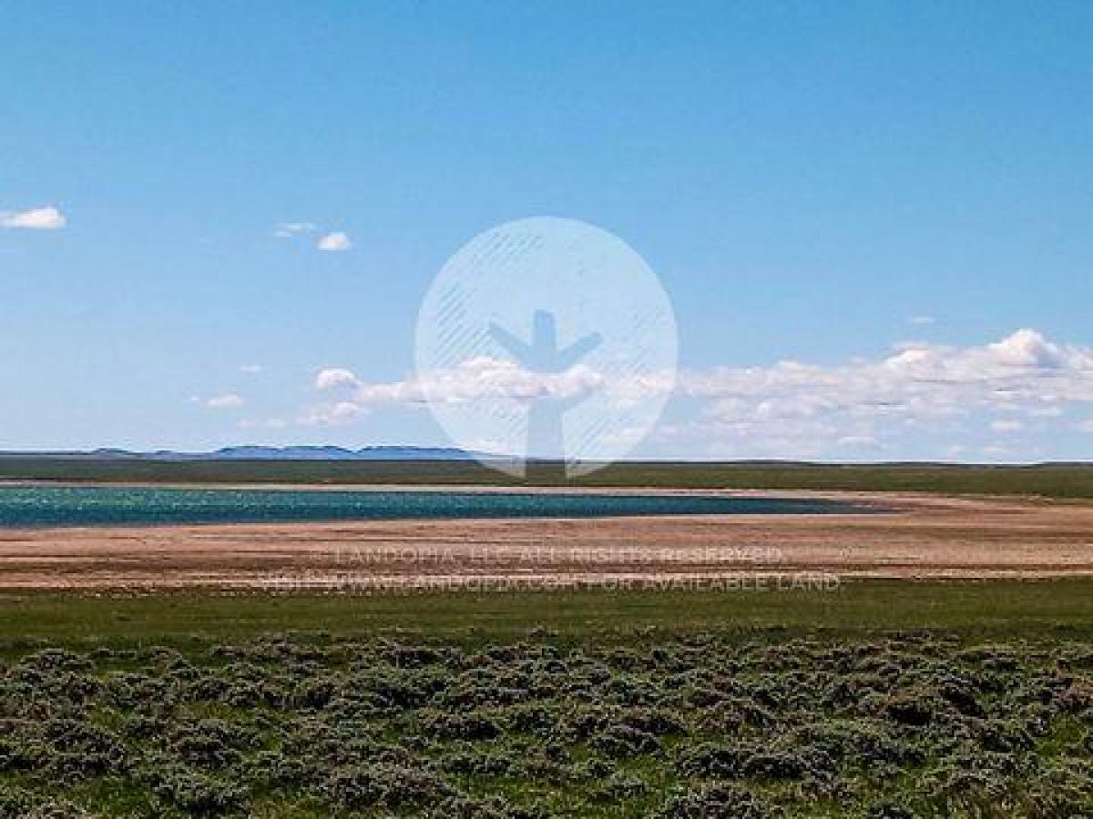
Description
Located in Laramie.Home to the University of Wyoming (the only university in the state), Laramie is full of history, culture, and character. You can also get your major shopping done in town and enjoy a night out. History buffs will have their hands full at the Wyoming Territorial Prison State Historic Site, where the one and only Butch Cassidy was once a resident. Wheatland Reservoir #3 is in your backyard and features a boat ramp, parking, as well as public restrooms. The area is a destination for boaters and fishermen and is run by the Bureau of Land Management, the State, as well as some private land. Zoned as "Rural Residential", you can have one dwelling per 5 acres. Tent and RV camping are permitted with limitations and the county also allows mobile homes. The closest power lines are about 5 miles out, but solar, wind or generator are also an option. Set up your septic, a well, water haul or holding tank, and while there is cellular phone service here, it's limited. Make this your home, home on the range! SUBDIVISION: MED BOW RNCH PH2 STREET ADDRESS: N/A, near Laramie, WY 82070 STATE: WY COUNTY: Albany County, WY ZIP: 82070 SIZE: 36.37 acres LOT DIMENSIONS: 1,524 feet (Northern Leg) x 1,464 feet (Western Leg) x 1,096 feet (Southern Leg) x 2,517 feet (Eastern Leg) APN: 05-2274-17-3-02-005.00 LEGAL DESCRIPTION: Tract 4, Medicine Bow Ranch Survey-Phase 2, situated in SW1/4 and NW1/4 of Section 17, All of Section 20, and the SW1/4 of Section 21, T22N R74W, of the 6th PM, Albany County, Wyoming, as shown by the Record of Survey recorded June 3, 1996 in Book 491 of MF at Page 433, and recorded June 13, 1996 on Book 492 of MF at Page 81, and as shown in Amended Record of Survey recorded September 27, 1999, under Doc No 1999 6505, Albany County, Wyoming records. Reference Number: MB-4 GOOGLE MAPS LINK: https://goo.gl/maps/yMgZMBaSArxPPUeZ7 LAT/LONG COORDINATES: NW: 41.879657, -105.739645 NE: 41.879742, -105.734024 SW: 41.875611, -105.739641 SE: 41.875643, -105.735643 ELEVATION: 6,965 ft ANNUAL TAXES: Approx. $300 per year ZONING: Rural Residential - One Dwelling unit per 5 acres. Tent camping is permitted. RV camping is permitted so long as it does not exceed six months (at that time it would be considered a permanent structure and would need to be applied for as such).The county also allows mobile homes. Please contact Albany County Planning Office (307) 721-2568. HOA/POA: No IMPROVEMENTS: None ACCESS: There is a dirt road on the western portion of the lot that connects to Palmer Canyon Rd. WATER: Would be a well, water haul and holding tank or other similar option SEWER: Would be by Septic UTILITIES: Power by solar, wind or generator, Phone by cellular, satellite TV/Internet/Phone